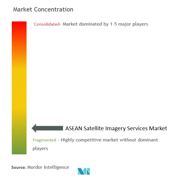
Market Share of ASEAN Satellite Imagery Services Industry
The ASEAN satellite imagery services market is characterized by its fragmentation due to the presence of several companies. Some notable industry players include Maxar Technologies, AIRBUS, L3Harris Corporation Inc., Satellite Imaging Corporation, and PASCO CORPORATION, among others. These key players are actively introducing innovative solutions and forging partnerships and collaborations to secure a competitive edge.
In May 2023, Airbus underscored its collaboration with the Malaysian Space Agency (MYSA) in the realm of Earth observation satellites. Airbus specifically highlighted its most recent constellation of satellites, Pléiades Neo, which is fully funded, manufactured, owned, and operated by Airbus. The imagery generated by this constellation is readily accessible to MYSA. The services provided by Airbus to MYSA align with the objectives of NSP 2030 Thrust Two, which emphasizes technology, infrastructure, and space applications. MYSA has harnessed data from Airbus remote sensing satellites to create over 50 space-based applications.
In January 2023, The Philippine Space Agency (PhilSA) joined Sentinel Asia, an international collaborative initiative aimed at providing Earth observation satellite images to enhance disaster management across the Asia-Pacific region using space technology. Through this project, the Philippine Space Agency (PhilSA) seeks to reduce the impact of natural disasters by sharing disaster-related information, including Earth observation satellite images, via the Internet. PhilSA is poised to furnish Earth observation satellite images from the DIWATA-2 and NovaSAR-1 satellites.
In December 2022, satellite imagery providers Synspective and Thaicom forged a partnership to offer synthetic aperture radar (SAR) solutions for disaster response in Thailand. These companies have joined forces to provide solutions to various sectors in Thailand, including government, defense, agriculture, and finance, leveraging Synspective's SAR technology and Thaicom's satellite sector expertise. Synspective's satellite, "StriX-1," will capture images used for disaster response, environmental monitoring, assessing agricultural productivity, and planning infrastructure. This collaboration empowers governments and businesses to make informed decisions regarding sustainable development, facilitating effective maintenance and planning in Thailand.
ASEAN Satellite Imagery Services Market Leaders
Maxar Technologies
AIRBUS
L3Harris Corporation Inc.
Satellite Imaging Corporation
PASCO CORPORATION
*Disclaimer: Major Players sorted in no particular order