Market Size of Japan Satellite Imagery Services Industry
| Study Period | 2019 - 2029 |
| Base Year For Estimation | 2023 |
| Forecast Data Period | 2024 - 2029 |
| Historical Data Period | 2019 - 2022 |
| CAGR | 15.25 % |
| Market Concentration | Medium |
Major Players
*Disclaimer: Major Players sorted in no particular order |
Need a report that reflects how COVID-19 has impacted this market and its growth?
Japan Satellite Imagery Services Market Analysis
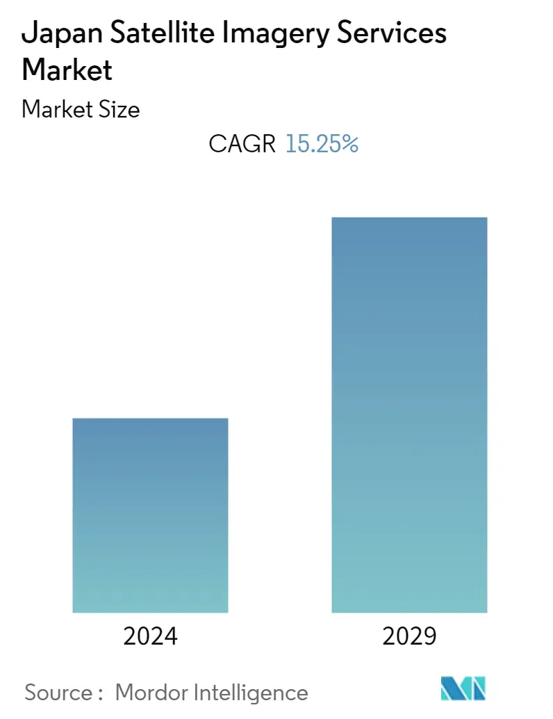
Japan satellite imagery services market is valued at USD 310 million in the current year. It is expected to register a CAGR of 15.25% during the forecast period, reaching USD 630 million by the next five years.
- The government and defense in Japan mainly drive the Japanese satellite imagery services market. Satellite imagery is crucial for national security and defense purposes. It provides intelligence agencies and the military with valuable information for monitoring activities, detecting potential threats, assessing military capabilities, and mapping strategic locations.
- For instance, according to the European Space Forum in 2023, the Japanese Ministry of Defence (MoD) announced that the Japanese MoD would be using Planet's Dove Earth imaging nanosatellites in order to collect intelligence about the Japanese national security threats through high-resolution satellite imagery.
- One of the key drivers of the market is the demand for effective disaster management. Among all the world's developed nations, Japan is afflicted with the largest number of natural disasters. The country is prone to major natural disasters such as floods, tsunamis, typhoons, heavy snowfall, and landslides. And when the disaster strikes, it becomes very important for the country to sess the damage quickly. In such cases, satellite imagery provides valuable information for disaster management agencies, allowing them to assess the impact of disasters, monitor affected areas, and coordinate rescue and relief operations.
- Another one of the most important drivers is the growing agricultural sector in Japan. Agriculture has always been an important part of the Japanese economy. The country is among the most developed nations in smart-farming-related areas and uses many digital technologies such as drones, robotics, and satellite technologies. Also, in 2022 the Ministry of Agriculture, Forestry, and Fisheries (MAFF). announced that it would collaborate with technology-providing companies to expand its smart farming technology and services. Hence with these collaborations, the demand for satellite imagery services will increase as it will assist farmers in crop monitoring, yield prediction, and precision agriculture. It also supports forestry management by monitoring forest cover and deforestation and assessing forest health and biodiversity.
- Moreover, the Covid-19 pandemic impacted the Japan Satellite imagery services market. During the pandemic, there were several restrictions imposed by the government in order to control the spread of the corona virus. This resulted in the slowdown of field surveys and data collection activities, impacting the availability of ground data for calibration and validation purposes.
