Market Trends of Geospatial Analytics Industry
Defense and Intelligence to be the Largest End-user Industry
- The geospatial systems allow the military to identify the locations of troops, bases, and important related information through GIS technology. The technology is used for defense site management for the military to manage bases and detachments across all levels of command. It can track troop movements, locate resources, and plan missions. It is also used in identifying targets for air-to-ground bombing missions. It has helped the military with target identification by providing various levels of topographical detail for a designated area of interest.
- According to the official sources in defense and security establishments, Geospatial data plays a vital role in a broad spectrum of critical data management applications, such as disaster, military operations and emergency management, environmental monitoring, and land and city planning.
- Furthermore, advancement in Geospatial technology enables more precise mapping of planets and additional celestial bodies than ever possible, turning the data and pictures that satellites and rovers send back into a wealth of spatial information. Although no astronaut has yet set foot on Martian soil, scientists have become highly familiar with the terrain's qualities with the help of Geospatial analytics.
- Planetary maps and mosaics generated from the spatial information gathered from these efforts build an understanding of the geology, topology, and landscape of distant objects in space. The US Geological Survey's Astrogeology Science Center delivers access to the images and data collected by various missions, including New Horizons, for use by researchers and the public. The database features visuals from the moon, Mars, Pluto, Saturn, Mercury, and more, with the compatibility to use geospatial analytics technology for further analysis.
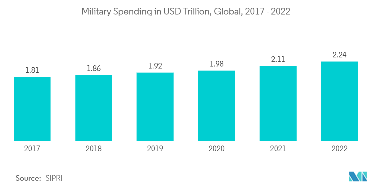
- Moreover, increasing government investments in this sector may further propel the studied market demand in the projection period. For instance, According to SIPRI, in 2022, military spending worldwide amounted to USD 2.24 trillion, the highest during the period under consideration.
Understand The Key Trends Shaping This Market
Download Sample
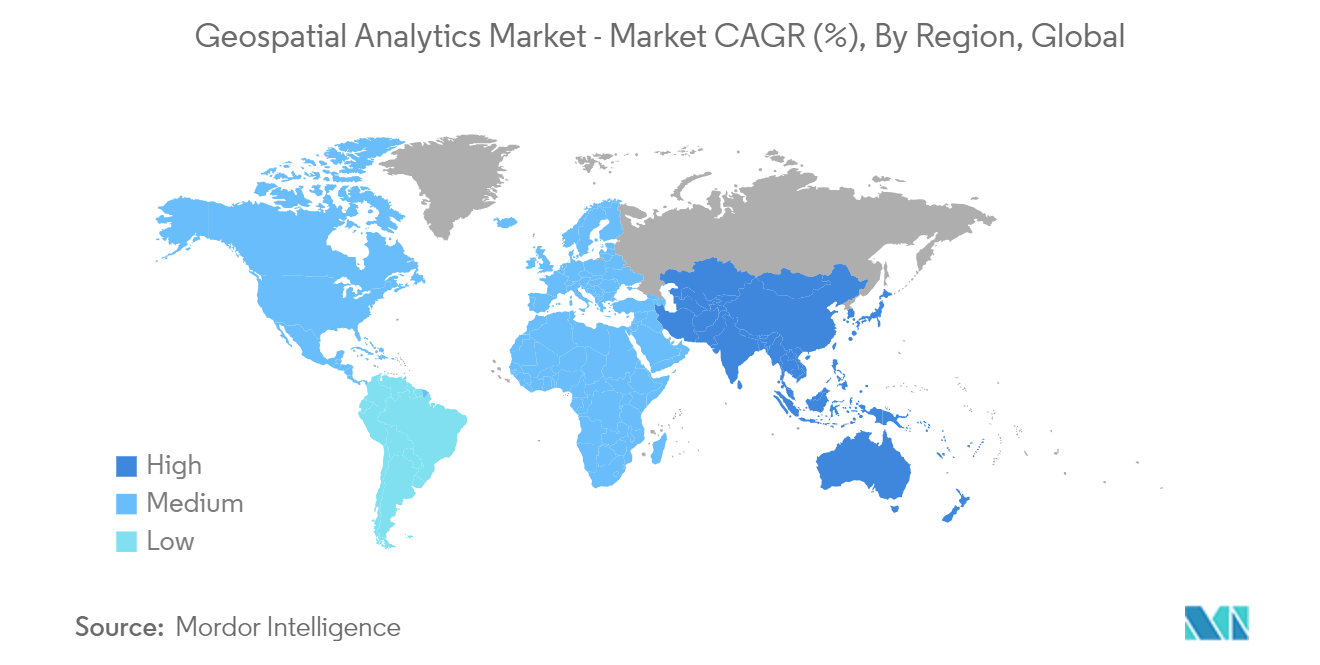
North America to Hold Significant Market Share
- The growth of the construction industry in the US and Canada is anticipated to increase the demand for 3D Mapping, and modeling is expected to grow during the forecast period, as the building process uses sophisticated 3D Mapping and geospatial analytics to create realistic modeling, which is preferable to using rolls of blueprints. This is further fueling the market's demand in the region.
- Therefore, companies are adopting location-tracking solutions to track and monitor their employees and what they come in contact with. Furthermore, location analytics can assist in defining the spatial boundaries to restrict inter-team communication within an organization.
- In November 2022, Sateliot, the United States-based nanosatellite telecommunications company to provide 5G connectivity for IoT devices, introduced its functional nanosatellite aboard a SpaceX Falcon 9 rocket to accelerate the massive IoT adoption and shift the IoT industry into cheap global connectivity, bringing a technological innovation on par with the introduction of GPS. Sateliot intends to resolve these problems by introducing a network of small, powerful satellites to offer total, reliable coverage to each corner of the world, including disaster zones, oceans, and remote regions. Moreover, this technology will work for anyone with any standard IoT device, regardless of operator.
- For instance, in November 2022, AWS IoT Core, a managed cloud service that allows users to connect billions of IoT devices and routes trillions of messages to AWS services, introduced AWS IoT Core Device Location. This advanced feature makes it possible for users to manage and track IoT devices leveraging their location data, such as longitude and latitude coordinates. Customers can optimize their business processes, streamline and simplify maintenance efforts, and unlock new use cases by using Amazon Web Services IoT Core Device Location. For instance, users' field service teams can stay informed and easily identify the location of devices that need maintenance action. Global Positioning Service (GPS) is a commonly applied standard to locate an IoT device in an IoT application.
- Moreover, adopting cloud-based GIS and the surge in the application of VR and AR technologies in geographic information systems are anticipated to have a significant impact on the market growth during the forecast period.
Get Analysis on Important Geographic Markets
Download Sample
