Market Size of Geographic Information System Industry
| Study Period | 2019 - 2029 |
| Base Year For Estimation | 2023 |
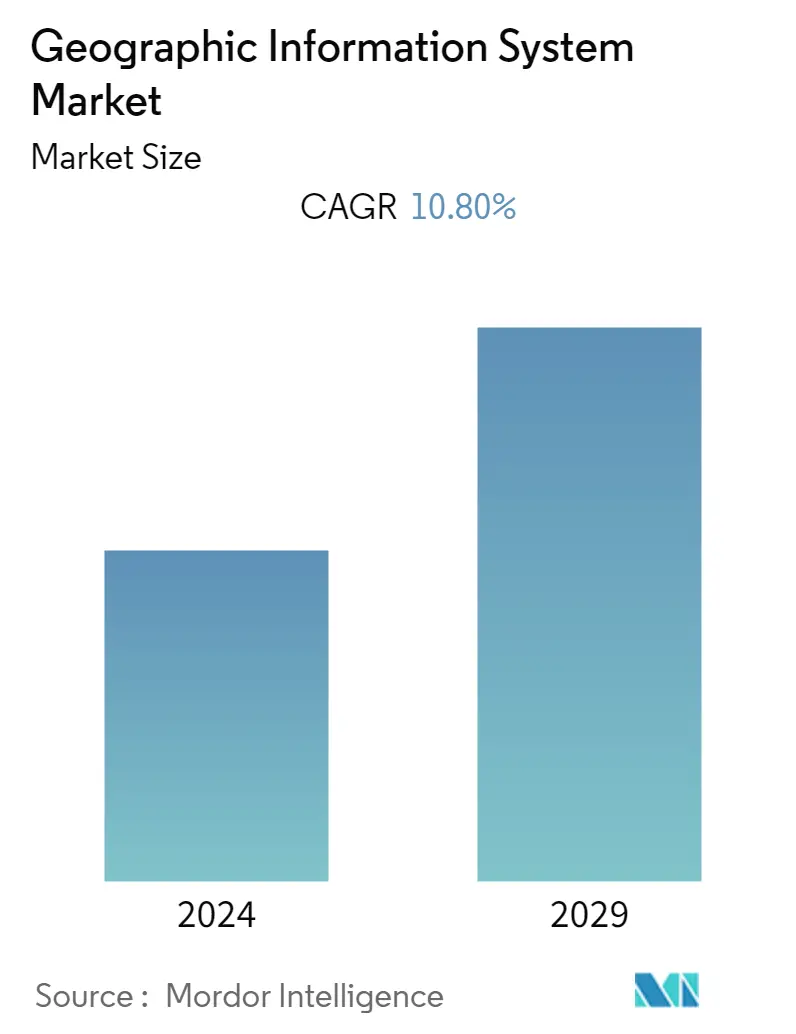
| CAGR | 10.80 % |
| Fastest Growing Market | Asia-Pacific |
| Largest Market | North America |
| Market Concentration | Medium |
Major Players
*Disclaimer: Major Players sorted in no particular order |
Need a report that reflects how COVID-19 has impacted this market and its growth?
Geographic Information System (GIS) Market Analysis
The geographic information system market (GIS) is expected to register a CAGR of 10.8% over the forecast period. GIS is used to power millions of decisions every day all over the world, such as pinpointing new store locations, analyzing crime patterns, routing in-car navigation, forecasting and predicting the weather, and so on.
- The increasing demand for location-based analytics among businesses to improve operational efficiency and enhance decision-making is driving the market. Also, the need to combine traditional data with spatial data to get useful insights from location-based information may open up new growth opportunities for the geographic information system market over the next few years.
- The penetration of IoT platforms in business operations has fueled the generation of real-time location data for offering highly relevant and location-specific services to customers. Moreover, the integration of GIS with IoT devices provides accurate data to users using geospatial data analysis. For instance, an IoT-enabled valve can be monitored from anywhere in the world using geospatial data.
- Some of the main things that are making the GIS market grow are the growth of smart cities and urbanization, the integration of geospatial technology with other technologies for business intelligence, and the growing investments in modern GIS solutions.
- Specialists in urban planning employ GIS systems to properly analyze, model, and visualize sites. By processing geospatial data from satellite imaging, aerial photography, and remote sensors, GIS software systems offer a comprehensive perspective of the land and infrastructure. The geographic information systems sector will expand due to applications like these.
The increasing need for predicting and identifying natural disasters and minimizing damages is fueling the growth of the geographic information systems market. Nowadays, GIS is used to detect, understand, and respond to the coronavirus (COVID-19) infectious disease outbreak by using its capabilities, such as spatial analytics, mapping, and location intelligence. Health officials and government agencies were mapping confirmed and active cases, fatalities, and recoveries to identify where COVID-19 infections occurred.
