Market Size of UK Satellite Imagery Services Industry
| Study Period | 2019 - 2029 |
| Base Year For Estimation | 2023 |
| Forecast Data Period | 2024 - 2029 |
| Historical Data Period | 2019 - 2022 |
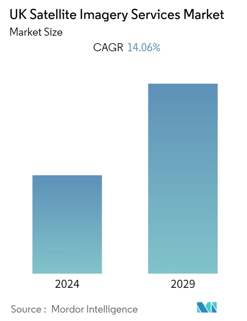
| CAGR | 14.06 % |
| Market Concentration | Medium |
Major Players
*Disclaimer: Major Players sorted in no particular order |
Need a report that reflects how COVID-19 has impacted this market and its growth?
UK Satellite Imagery Services Market Analysis
The United Kingdom Satellite Imagery Services Market is valued at USD 0.47 billion in the base year and is expected to reach a CAGR of 14.06% during the forecast period to become USD 1.04 billion over the next five years. The application of satellite imagery services in data acquisition, mapping, and monitoring of various environmental purposes, including monitoring methane emissions, planning nature-based solutions, climate risk analysis, impact assessment for capital projects, etc., are driving the market in the United Kingdom.
- The country's priority in developing smart cities is creating an opportunity for the market and driving it during the forecast period because, with the help of satellite imagery, city administrations can access detailed information about their infrastructure, population, and environment and can plan for the future. Additionally, in November 2022, The Smart Cities Council, which brings the government, industries, and social sector together to create an impact on the key challenges and opportunities facing cities, started its operation in the United Kingdom.
- Artificial intelligence in innovative city development is becoming increasingly important in the country, as cities become more efficient and sustainable. In addition, the adoption of big data analytics is emerging in all the country's sectors. Through AI, users can analyze large amounts of data, including satellite imagery, to identify trends and patterns to help inform innovative city development, accelerating the demand for satellite imagery services in the country.
- Satellite imagery services have been utilized in the policy-making by the country's government to address the future need, which would drive the market in the forecast period. For instance, in August 2022, satellite pictures from Copernicus, the EU's earth observation program, showed the east of England and Scotland had turned brown. Aerial images of a yellowing UK could be the reason for the high growth in temperatures and low rainfall in the areas, which has enabled the country's government to be prepared for the drought condition of the country.
- However, satellite imagery services are expensive, and data acquisition & processing can be a constraint for some users due to its high cost, which could restrict the market adoption in the country. Additionally, satellite imagery may not detect small-scale environmental changes due to its lesser resolution than other imagery techniques.
- The country's adoption of satellite imagery services has increased during and after the covid-19 pandemic due to its applications in managing the crowd in the country. For instance, the United Kingdom Research and Innovation (UKRI) of the country's government has stated that UK start-up Lanterne developed an app to enable people to observe social distancing rules more effectively by using satellite technologies, driving the demand for the satellite imagery service market in the country.
